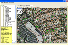
I currently work for ArborPro, which supplies a GIS software that GPS trees and georeference them on an aerial image. The software allows you to maintain tree characteristics such as common and botanical name, condition, height, spread, DBH, ect. The software also allows you to maintain record of maintenance work done on that tree. With that in mind the software also allows you customize reports such as species frequency and inventory reports.
Check out the link below and send me a message if you’re interested or have any further questions.
 ArborPro Inc