landscape
“The Landscape Architect” series
Keywords: landscape, culture, landscape architecture, design, international, Middle East, North Africa, Europe The Landscape Architect series has six books about CJ, Christopher Janus. He wrote them all. The six stories are his collected memoirs. He was into asking questions, discovering and writing. And above all he was a landscape architect deeply involved with foreign cultures, landscape and design. The six stories track the arc of his beginning interest in landscape architecture followed by his growth in the profession. 1: Tangier Gardens 2: Curious Tales 3: Yenbo Palms 4: Crystal Vision 5: Orient Espresso 6: Dubai Sands In books 1 and 2, CJ, Christopher Janus is introduced. He is an American, a university student majoring in Landscape Architecture doing a term abroad design study in M...Read More
DISTRICT PARK
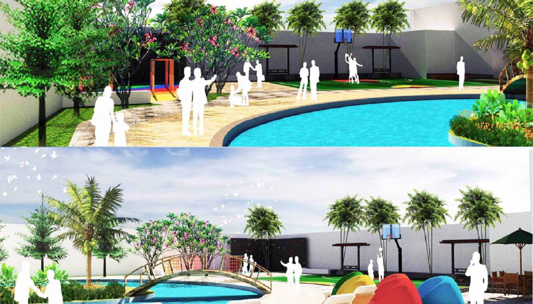
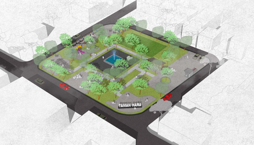
THEME “HARA PARK” Hara is a necessary substance by plants and animals for growth, network formation and other activities. The name “HARA” was taken as the theme or the name of the park, because it is expected to be a garden “HARA” which is located in front of The Pucung Village Office will be like the meaning of the word “HARA”. It is hoped that this park will become a means of or facilities for the surrounding community in social activities and the formation of social network between people. Besides this Park will be wrong a shaper of the microclimate in the region Pucung Village, with the Pada Park the area will be one of the great participation for Pucung Village in improve environmental quali...Read More
Waza to Kokoro: Hands and Heart seminar in Japanese garden arts
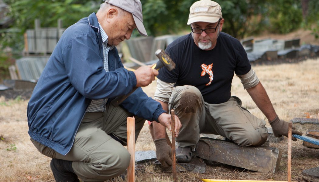
Waza to Kokoro: Hands and Heart, Level 1 This intensive, hands-on educational seminar is an immersive learning experience in Japanese garden arts, framed in the Culture of Tea and the art form of the tea garden. Come to Portland to learn stonesetting, plant care, design, history and other related subjects directly from Japanese garden masters. The course is designed for landscape practitioners from all disciplines. Location: Portland Japanese Garden and offsites Dates: Aug. 24-30, 2020 (application opens March 10, 2020) Tuition, conditions, program content and other details at japanesegarden.org/thecenter or from kfaurest@japanesegarden.org The course is eligible for continuing education units from several professional organizations. The Training Center is an approved LA CES continuing edu...Read More
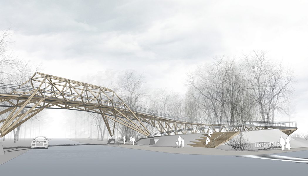
CONCEPT OF A PEDESTRIAN BRIDGE IN ECO-PARK / KRASNOYARSK, SIBERIA
The footbridge over the highway is a connecting element of two recreational sites in the suburban area of Krasnoyarsk – boulevard “Studencheskiy” and eco-park “Gremyachaya Griva”. The transition is located on an active walking and sports-running path, so it is designed as a dynamic communication link, where, by means of figurative and compositional expression, it “charges” visitors with the energy of tense twisted spirals of ramps. Our studio “ADM” at this stage in our project activities explores discrete network models consisting of two components – a connector and a linking element. If we take a node-connector and imagine that the axes of the linking elements intersect at one point inside the node, and the elements themselves can be located and fixed at any angle, then we get a universal...Read More
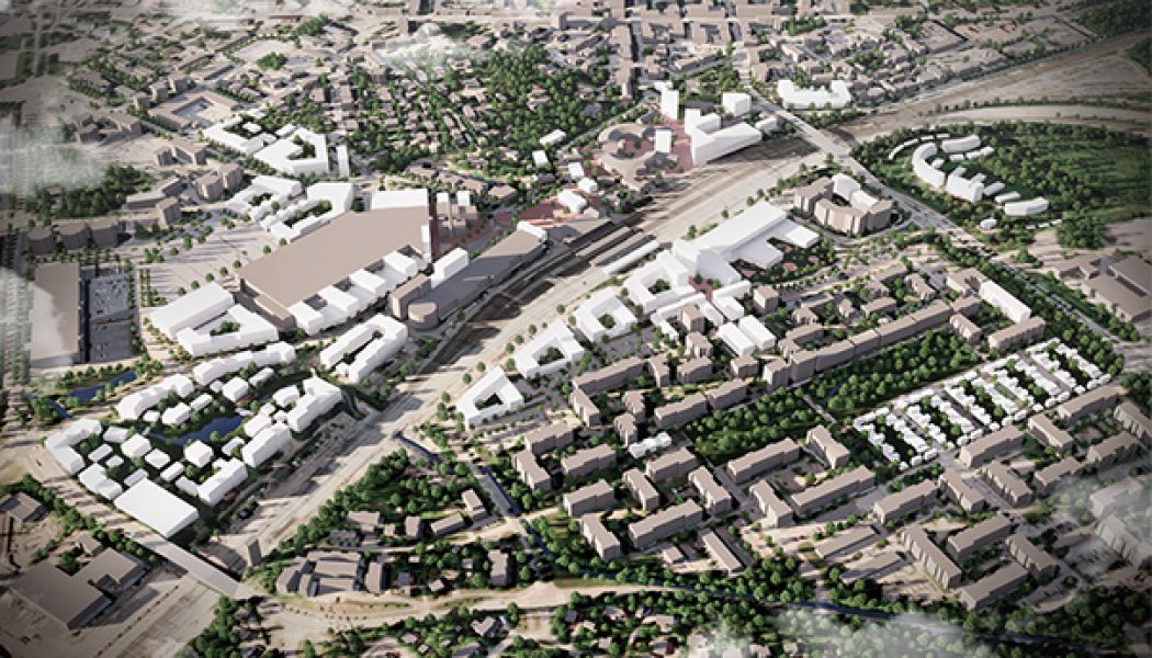
Riihimäki Station Area Master Plan
The Riihimäki Station Area Master Plan was adopted by Riihimäki City Council on February 4th, 2020. The plan includes land use, traffic planning, and architectural master planning for an area of 80 hectares to accommodate 5 000 inhabitants. The multidisciplinary team comprised Arkkitehdit LSV, Jolma Architects, TUPA architecture, Nomaji maisema-arkkitehdit, and Ramboll Finland. The Master Plan for Riihimäki Station Area brings together disparate and detached neighborhoods separated by the bisecting railway line. The plan reconciles different socio-economic conditions to create a more egalitarian society in keeping with Finnish values. The master plan has been developed through an innovative design in dialogue process, consulting local communities, businesses, and individuals. During ...Read More
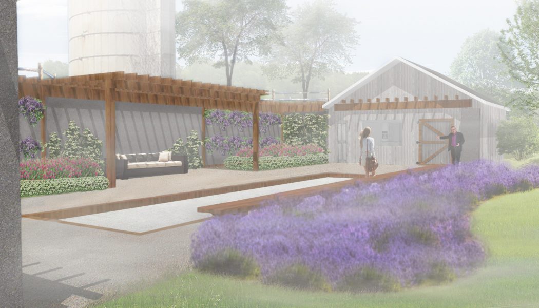
Pastoral Relics
This project combines ecological & architectural significance. Running through the property is Mill Creek, a tributary to the Des Plains River. The essence of the commission was to redevelop a barn on the property of this historic farm property. With the footprint and three partial walls being all that remained of the building, the site was designed to take advantage of its context, promoting views of the adjacent creek.
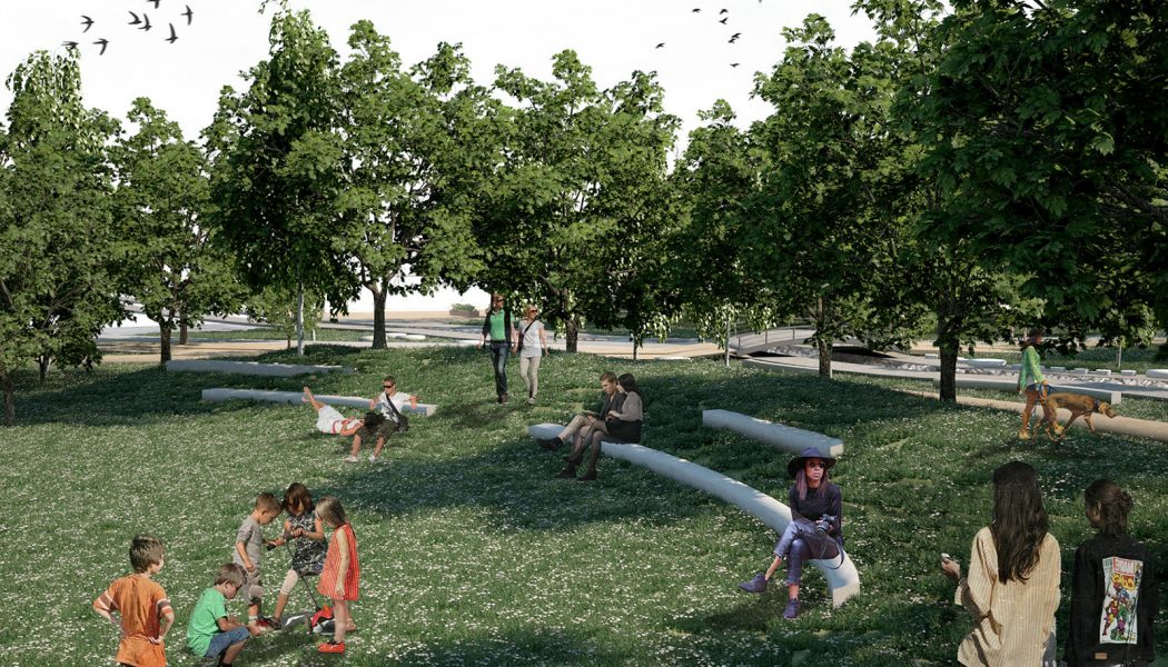
The Loumaki Park
PURPOSE The purpose of this proposal is to create a new green area in Karditsa so that it will become the new landmark destination for both residents and visitors. The connectivity of the park to the urban fabric that respects everybody, prioritizing the pedestrians, the disabled, and the bicycles is another basic element of the design, together with the use of materials and construction methods which are easily achievable and ensure the best energy efficiency, as well as the minimum need for their maintenance. GIS ANALYSIS Ahead of the landscape planning of the project, a GIS-based analysis through geo-information technology considered mandatory and of high importance, was executed. High resolution satellite imagery and other earth observations available through NASA’s open platform USGS-...Read More


