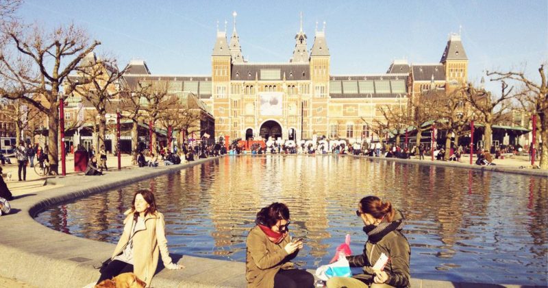
Article by Ophelia Yuting Ji – We take a look at how Amsterdam became one of the most sustainable cities in the world due to the development of the Amsterdam Canal Ring. Revolving windmills, blossoming tulips, and meandering canals; we are all drawn to the beautiful sightseeing in Amsterdam, but the capital of the Netherlands is definitely more than that. The city, located in the North Holland province in the Netherlands, was derived from a fishing village along the Amstel River in the 13th century. The clue can easily be found in its name: “Amster-dam” basically means the dam around the Amstel River. Despite the fast development around this river and IJ Bay, Amsterdam has become one of the top 5 sustainable cities in the world, according to the Arcadis “Sustainable Cities Index” in 2015.
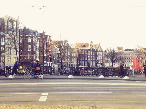
Photo Credit: Ophelia Yuting Ji
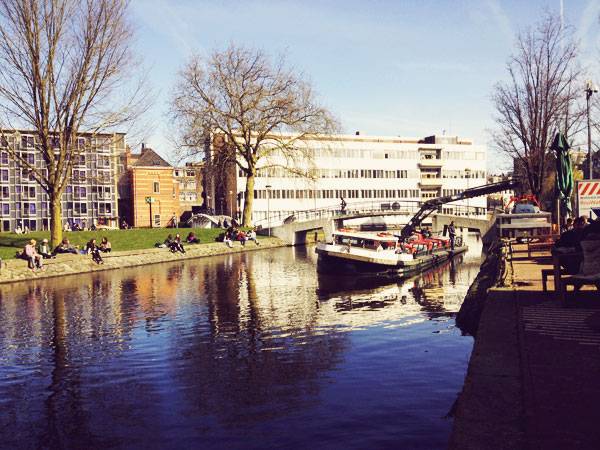
Photo Credit: Ophelia Yuting Ji
Amsterdam Canal Ring
In-Water Transportation
The whole city was developed along the canals made by careful city planning decisions. The water management in Amsterdam has a very long history. Beyond the water managing function, even before the 16th century, the canals were first used as a defensive moat. They gradually became used for commercial and residential uses, as well as for transporting merchandise, as it says in “Time Out Amsterdam”.
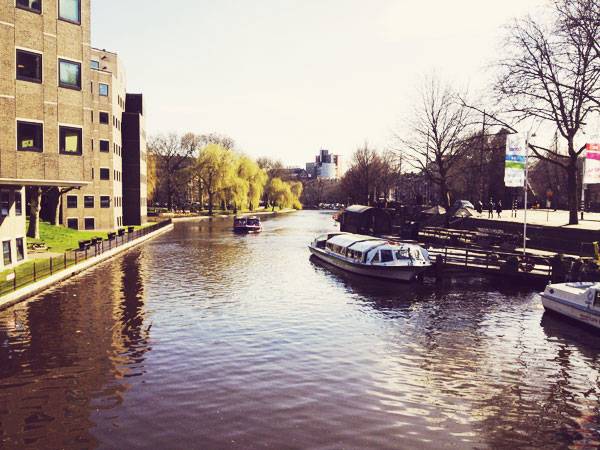
Photo Credit: Ophelia Yuting Ji
Photo Credit: Ophelia Yuting Ji
Photo Credit: Ophelia Yuting Ji
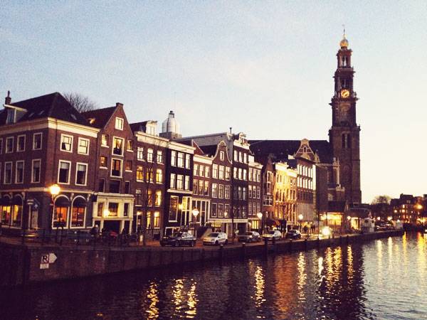
Photo Credit: Ophelia Yuting Ji
Windmill – Wind Power
Besides the water and electricity power usage, as is known, wind power technology is another advantage for the Dutch. According to iamsterdam.com, the Netherlands used to have 10,000 operational windmills for industrial purposes, and now there are 8 in Amsterdam. In fact, the windmills can not only be used to make flour from grain but also function to drain the lowlands of excess water to reclaim polders, press oil out of seeds, and saw wood. Nevertheless, the Dutch are obviously more enterprising in the new decade. Starting from January 1st, 2017, all electric trains are now powered by wind in the Netherlands, says Ton Boon, the spokesman for national railway company, NS.
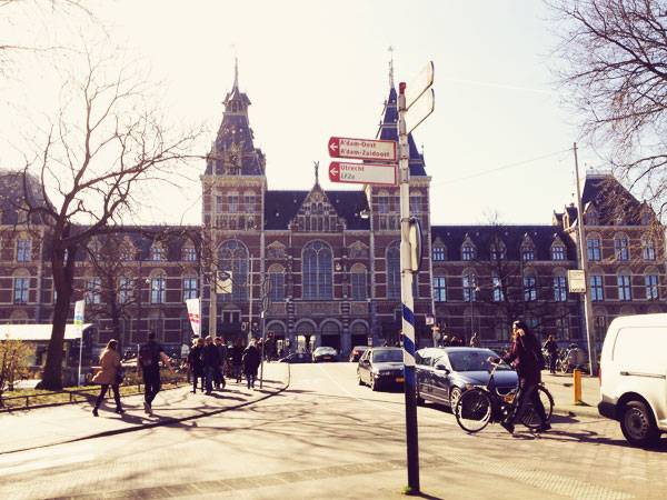
Photo Credit: Ophelia Yuting Ji
On-Land Transportation
Walking in the city, you can always observe people riding bicycles as they flash by. With a population of 842,343 residents in August of 2016, based on the data from Centraal Bureau Voor de Statistiek (Central Bureau for Statistics) in Netherlands and a 21,949-hectare total surface area, based on the data from 2016 Jaarboek Amsterdam in Cijfers (Amsterdam Yearbook in Figures), the largest city in Netherlands has always been promoting their bicycling traditions. According to the City of Amsterdam, in the period from 2005 to 2007, residents used their bicycle an average of 0.87 times a day and their car 0.84 times.
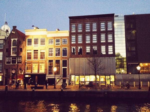
Photo Credit: Ophelia Yuting Ji
By understanding the multifaceted history in Amsterdam, we would appreciate all the efforts having been put into this land that make it such an inclusive place for people with different backgrounds and living rituals, and the courage of being a pilot in making a sustainable cityscape by embracing what they used to be afraid of and turning it into a great water resource for the city. Does this planning model of Amsterdam Canal Ring give you inspiration on what we can do to improve our city, to make it more sustainable and inclusive to diverse communities?
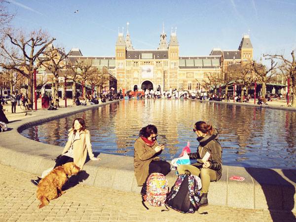
Photo Credit: Ophelia Yuting Ji
- Becoming an Urban Planner: A Guide to Careers in Planning and Urban Design by Michael Baye
- Sustainable Urbanism: Urban Design With Nature by Douglas Farrs
- eBooks by Landscape Architects Network