Rhinoceros (Rhino for short) is a standalone 3D modelling program that provides a flexible and versatile modelling environment for a variety of architecture, engineering and construction (AEC) industry professionals, from architects to industrial designers; including landscape architects!
Its interoperability, multidisciplinary toolsets, relatively low learning curve (compared to other high-end 3D modellers/renderers) and modest price tag make it quite an attractive option for those looking to incorporate 3D modelling within their design, documentation and presentation workflows.

BIM-enabling modelling as well as technical drawings all within Rhino
What makes Rhino’s modelling capabilities so robust is its use of NURBS geometry. What are NURBS you ask?
NURBS
NURBS (Non-Uniform Rational B-Splines) are mathematical representations of 3D geometry that can accurately describe any shape, from a simple 2D line or curve to the most complex 3D organic free-form surface, solid or mesh. Because of their flexibility and accuracy, NURBS models can be used in any process from illustrative representation to fabrication.
RELATED STORY: Rendering Tutorial – Transparency Maps
The beauty of NURBS is that less information is required to model a piece of geometry than the amount of information required to model the same piece of geometry using faceted approximations. A good explanation of this above point is illustrated in the following image. Here, we have a faceted SketchUp arc (left) and a smooth Rhino arc (right).

An arc drawn in SketchUp (left) and Rhino (right).
The faceted curve is made up of a number of straight lines – the example above includes eight lines. Sure, this number can be increased, but doing so increases the amount of information required to model the geometry of the curve, and the accumulative effect of this increase in information is poorer hardware performance.

The basics of modelling in Rhino: Points, Curves, Surfaces and Solids.
Interface
Rhino’s interface allows for multiple views of your model, using viewports that can represent orthogonal and perspective views simultaneously. This allows for accurate orthogonal drafting in plan and elevation views, similar to what you would experience in conventional CAD programs, with the ability to see and switch to your perspective view for a 3D modelling process similar to SketchUp. This also allows you to appreciate what your documentation drawings will look like as you go.

Multiple viewports allows for an accurate yet dynamic modelling workflow.
Plugins
Another fantastic use of Rhino comes with the Lands Design plugin, which offers a number of landscape-specific palettes containing tools for landscape professionals. The terrain tools include the ability to produce a digital terrain model (DTM) as well as import Google Earth terrain and imagery directly into your modelling space, which is great for adding context to your work.

Lands Design’s Plant Editor
Plant tools include BIM enabling plant objects, viewable in 2D entourage in plan and elevation views as well as 3D models for perspective views. These plant objects are linked to a plant database that allows for scheduling of plants for your planting plans. Existing plant models can be modified or new plant models created using the Plant Editor, with everything from growth habit to trunk bark and foliage completely customisable. The plugin also includes a civil palette with path, stairs, walls and fences tools, while other tool palettes include irrigation, urban furniture and documentation.

Orthogonal plan view | Asuni CAD S.A

Rendered plan view | Asuni CAD S.A

Shaded perspective modelling view | Asuni CAD S.A

Rendered perspective view | Asuni CAD S.A
Other plugins that improve the performance of Rhino include Flamingo and V-Ray, which allow for more advanced photorealistic rendering directly from within your Rhino model. Parametric modelling is also enabled in Rhino with the Grasshopper plugin. For those of you who have yet to encounter parametric modelling, I’ll try to succinctly describe it:
Parametric modelling involves the use of parameters and constraints to define the model. Parameters may include dimensions, materials, object assembly points, etc while constraints applied to these parameters can affect their behaviour, for example the width of a retaining wall remaining a particular dimension. There will be a more in-depth look at parametric modelling for landscape architecture using Rhino and Grasshopper in a follow up post by fellow Land8 writer Adam Mekies – an article I’m very much looking forward to!

Parameters are defined in Grasshopper and modelled in Rhino simultaneously | De Ville D’Avray, Grasshopper3D
For me, Rhino sits between the entry-level modeller SketchUp and more advanced rendering programs such as Autodesk’s 3Ds Max. The program enables 2D orthogonal drafting in much the same way that AutoCAD does and combines this with simple surface and solid functions similar to those in SketchUp. I’ve once heard of it described as SketchUp on steroids – and I’d have to agree.
RELATED STORY: 10+ Resources to Enhance your SketchUp Skills
If you are looking for an affordable and robust modelling program that offers more than SketchUp but doesn’t commit you to the often-daunting learning curve of advanced modelling and rendering programs, then Rhino is for you. It has a mind-boggling number of useful features and plugins that enable you to do just about anything, and it’s always nice when some of these cater specifically for us landscape architects.
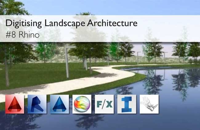
This article is part of the Digitising Landscape Architecture series. Click here to view other articles in the series.
Jason Packenham is a Landscape Architect at Corkery Consulting and design studio tutor in the Bachelor of Landscape Architecture program at the University of New South Wales.
Published in Blog