
A beginners guide to ArcGIS and some important things a landscape architect should know about it. Geographical Information System (GIS) is a great aid to landscape architectural works, especially for meso- and macro-scale projects such as town and regional planning. GIS helps you capture, store, manipulate, analyze, manage, and present all types of spatial and geographical data in the landscape architectural work flow process. ArcGIS, developed by ERSI, is one of the popular GIS tools used worldwide. ArcGIS helps you when working with maps and geographical information. It is used for creating and using maps, compiling geographic data, analyzing mapped information, sharing and discovering geographic information, using maps and geographic information in a range of applications, and managing geographic information in a database., Its quick, effective, and accurate tools come in handy in many spatial analysis processes. WATCH: ArcGIS10 Basics 1 of 4 (Make a note of this video and watch it after reading the article and get started with the basics)
Getting Started with ArcGIS
ArcGIS is a really useful tool for a landscape architect, but sometimes it is really frustrating to use this software if you haven’t mastered it yet. But don’t worry: In this article, I want to share with you some tips to getting started with ArcGIS and a few important basics to know. Know the Formats There are lots of data formats used in ArcGIS. Each format is unique and has a specific use. Pay attention to maps, images, features, and any other data you use for your analysis and the format of the output data. You will get used to this after several times using ArcGIS and find the best data format for every work you do. Related Articles:
- Top 10 Hints & Tips For SketchUp
- Computer Aided Software for Landscape Architects: The Essential Guide
- 3D Modeling Software for Landscape Architects
Know the Shortcuts There are surely lots of tools and toolbars in ArcGIS. Shortcuts will save you time! Never hesitate to learn how to use shortcuts, as that will become really helpful later. You can look at list of shortcuts from ArcGIS or on the ESRI web, or you can get many other helpful time-saving tips on the forum on the Internet. Bonus Video: Basic Digitization in ArcGIS
Learn From Other People’s Work ESRI has compiled all GIS works, projects, and research from all over the world. Learn from it! It’s a free database you can use to look for research that can help you finish your project, so why not? Set Your Coordinates First! Make sure you have set all the maps to coordinate correctly before you start your work. It’s the key to starting a project, because the analysis tools and process won’t work if the data and maps you use aren’t configured correctly. Learn about the “Datum system” to know how to project your data and maps with a correct coordinate system and geographical information — you can find this information from many free sources on the Internet. Be Clean: Save Your file Briefly and Clearly The GIS process is about how you analyze, process, and compile various spatial information and serve it efficiently for your uses. It is very important to save all your input and output data briefly so that you can easily look for it when you need it later. Saving your data and work in a brief and specifically named file or folder will be really helpful for later uses of your work. The more informative the file and folder name, the more it will be helpful for you, your client, and anyone who references your work. Bonus Video: ArcGIS 10 – Calculate Area and Volume of a Reservoir
Recommended Reading:
- SketchUp 2014 For Dummies by Aidan Chopra
- The Complete Guide to Blender Graphics, Second Edition: Computer Modeling and Animation by John M. Blain
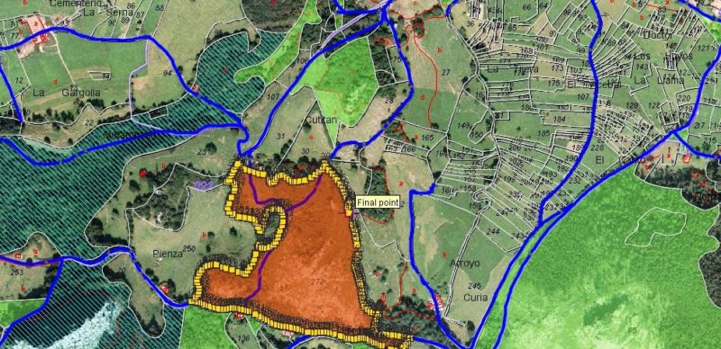
Article by Harkyo Hutri Baskoro Return to Homepage Featured image: “GvSIG – GIS” by Emilio Gómez Fernández – Own work. Licensed under CC BY 2.5 via Wikimedia Commons
Published in Blog


![Equity, Justice, and Landscape [Webinar]](https://land8.com/wp-content/uploads/2020/06/HKOJ2017_kb-224x150.jpg)